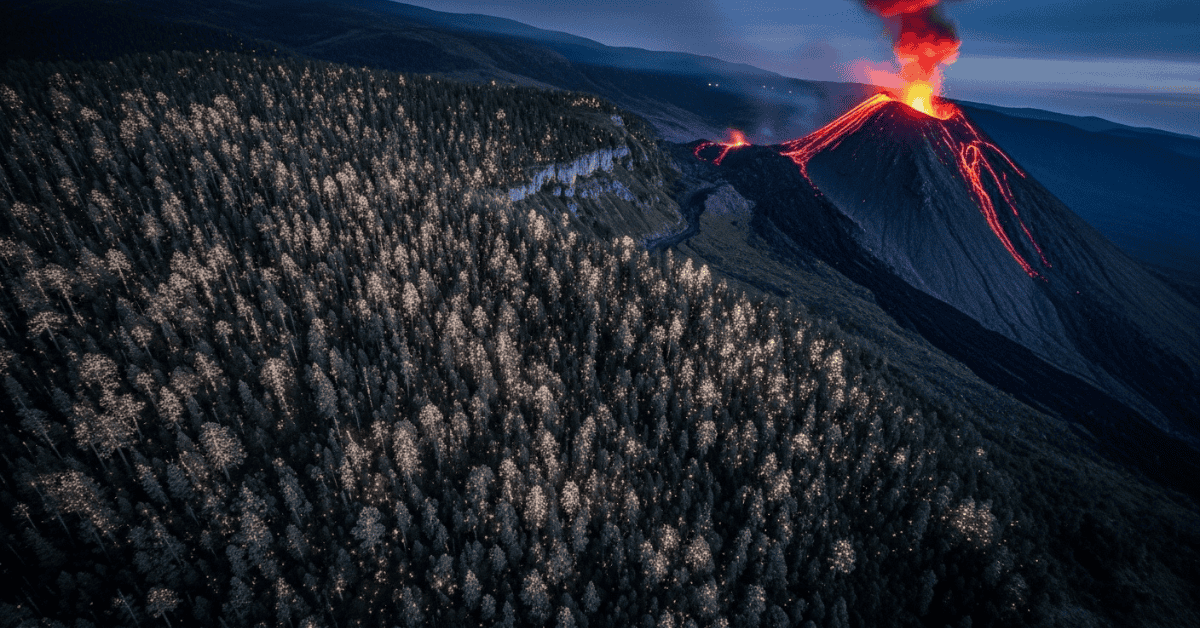
High above the restless peaks of Guatemala’s Volcán de Fuego, satellites capture an extraordinary signal that trees broadcast months before the earth begins to rumble a botanical early warning system that could revolutionize how we predict volcanic eruptions.
Nature’s Underground Telegraph
The discovery began with an unusual observation in 2020. Scientists monitoring satellite imagery noticed that trees surrounding active volcanoes exhibited strange patterns in their spectral signatures—the unique light wavelengths they reflect—long before any volcanic activity became visible to human observers.
Dr. Elena Rodriguez, a remote sensing specialist at NASA’s Goddard Space Flight Center, first noticed these anomalies while analyzing vegetation health around Central American volcanoes. “We were looking at standard forest health indicators when we saw these subtle changes in how trees were reflecting infrared light,” she explains. “It was like the forest was whispering secrets about what was happening deep underground.”
These whispers, it turns out, represent one of nature’s most sophisticated early warning systems.
The Science Behind Tree Stress Signals
Trees respond to environmental changes with remarkable sensitivity. When volcanic activity increases underground, it creates subtle shifts in soil chemistry, groundwater temperature, and gas emissions that most monitoring equipment cannot detect at surface levels.
Plants, however, are natural chemical sensors. Their root systems extend deep into soil layers where they encounter the earliest signs of volcanic unrest. Rising concentrations of sulfur dioxide, carbon dioxide, and other volcanic gases stress tree metabolism, even at levels far below what current geological instruments can measure.
This stress manifests in measurable ways. Trees reduce their photosynthetic activity, alter their water uptake patterns, and change the structure of their leaves. These physiological changes modify how trees reflect different wavelengths of light, creating spectral signatures that satellites can detect from space.
Advanced satellite sensors like those aboard Landsat 8 and Sentinel-2 capture these subtle changes across vast areas. The spectral data reveals decreased chlorophyll activity, altered leaf structure, and shifts in water content—all indicators of plant stress that precede traditional volcanic warning signs by weeks or even months.
Breakthrough Results from Global Monitoring
A comprehensive study published in the Journal of Volcanology and Geothermal Research analyzed satellite data from twelve active volcanic regions across six continents. The results were striking: vegetation stress signals preceded seismic activity by an average of 47 days and ground deformation by 23 days.
The research team, led by the International Space Station’s Earth Observation Laboratory, examined volcanic systems in Italy, Indonesia, Chile, and Iceland. In every case, trees and other vegetation showed measurable stress responses before conventional monitoring systems detected unusual activity.
Mount Etna provided one of the most compelling examples. Satellite imagery revealed vegetation stress patterns around the volcano’s base 73 days before its 2021 eruption sequence began. Traditional seismometers didn’t register significant changes until just 12 days before the first explosive activity.
Similar patterns emerged around Indonesia’s Mount Merapi, where palm oil plantations exhibited stress signatures two months before the volcano’s 2020 pyroclastic flows. Local communities had no advance warning from conventional monitoring systems, but the satellite data clearly showed that plants were responding to underground changes long before human-detectable activity began.
Revolutionary Monitoring Applications
This discovery transforms volcanic monitoring from reactive to predictive science. Traditional volcano surveillance relies on networks of seismometers, gas sensors, and ground deformation monitors—expensive equipment that requires extensive infrastructure and maintenance.
Satellite-based vegetation monitoring offers unprecedented advantages. Coverage spans entire volcanic regions without requiring ground-based installations in dangerous areas. The technology can monitor remote volcanoes that lack traditional surveillance networks, particularly critical for the 1,350 active volcanoes worldwide where limited monitoring creates significant hazards for nearby populations.
The European Space Agency has begun integrating vegetation stress analysis into their volcano monitoring protocols. Their new early warning system combines traditional geological data with satellite-detected plant responses, creating more comprehensive threat assessments for European volcanic regions.
NASA’s Jet Propulsion Laboratory is developing automated algorithms that process satellite imagery in near real-time, identifying vegetation stress patterns and alerting volcano observatories to potential unrest. These systems could provide crucial advance warning for volcanic regions in developing countries where extensive ground-based monitoring networks are impractical.
Global Implications for Disaster Preparedness
The implications extend far beyond volcanology. Vegetation stress monitoring could revolutionize how we approach multiple types of geological hazards. Scientists are already investigating whether similar plant responses precede landslides, major earthquakes, and other subsurface geological events.
Early results suggest that vegetation stress patterns may also indicate underground changes associated with geothermal activity, mineral deposits, and groundwater systems. This opens possibilities for applications in resource exploration, environmental monitoring, and climate change research.
For vulnerable populations living near active volcanoes, this technology could mean the difference between evacuation and catastrophe. Over 800 million people worldwide live within 100 kilometers of active volcanoes, many in developing nations with limited monitoring capabilities.
The Philippines, with 47 active volcanoes and frequent eruptions, represents a prime candidate for vegetation-based early warning systems. Indonesian authorities are already collaborating with NASA to implement pilot programs around Mount Sinabung and other high-risk volcanic systems.
Challenges and Future Developments
Despite promising results, vegetation-based volcano monitoring faces several challenges. Cloud cover can obscure satellite observations for extended periods, particularly in tropical volcanic regions where monitoring is most needed. Seasonal vegetation changes, drought, disease, and human activities can create false signals that complicate data interpretation.
Scientists are addressing these limitations through improved algorithms that distinguish between volcanic stress and other environmental factors. Machine learning systems trained on years of satellite data are becoming increasingly sophisticated at identifying true volcanic signals among background noise.
The next generation of hyperspectral satellites will provide even more detailed vegetation analysis. These advanced sensors can detect subtle chemical changes in plant tissues, potentially identifying specific volcanic gases that trees absorb and metabolize.
Research teams are also exploring ground-truthing methods that combine satellite observations with automated field sensors. These hybrid systems could provide validation for satellite-detected vegetation stress while maintaining the broad coverage advantages of space-based monitoring.
Looking Toward the Future
The marriage of botany and volcanology represents a fundamental shift in how we understand Earth’s interconnected systems. Plants serve as sensitive biological instruments, constantly monitoring and responding to environmental changes that our most sophisticated equipment might miss.
As satellite technology continues advancing and our understanding of plant stress responses deepens, vegetation-based monitoring may become as fundamental to volcanic surveillance as seismometers and gas sensors. The trees that grow on volcanic slopes, long considered passive observers of geological processes, are revealing themselves as active participants in an early warning network millions of years in the making.
This botanical telegraph system suggests that nature has been broadcasting warnings about geological hazards all along—we simply needed the right technology to listen. As we face an era of increasing geological instability and growing populations at risk, perhaps our best early warning systems have been growing quietly around us, waiting for us to learn their language.
Sources
• NASA Goddard Space Flight Center, Remote Sensing Applications Laboratory (2023) • Journal of Volcanology and Geothermal Research, “Vegetation Stress as Volcanic Precursor” (2022) • European Space Agency Volcano Monitoring Service, Technical Report (2023) • International Space Station Earth Observation Laboratory, Multi-Continental Study (2022) • Smithsonian Institution Global Volcanism Program Database (2023) • Nature Communications, “Plant Spectral Responses to Subsurface Geological Activity” (2021) • NASA Jet Propulsion Laboratory Earth Science Division (2023) • Philippine Institute of Volcanology and Seismology Monitoring Reports (2022)
Disclaimer
This article is for informational purposes only and should not replace professional geological or safety advice. Individuals living in volcanic regions should follow guidance from local geological monitoring agencies and emergency management authorities.